USE OF COOKIES
We use our own and third-party cookies in order to offer a better user experience on our Website. You can accept all cookies, obtain more information or configure the cookies you wish to accept in a personalized way.
ACCEPT ALL COOKIES
More Info
⋅
Configuration
Technical cookies.
They are essential for the proper functioning of our Website and are enabled by default.
Embedded content cookies.
They are third-party cookies that allow you to view videos, accommodation maps and other services embedded in our Website.
SAVE & EXIT
Toggle navigation
Destination
Adra
Almazora Valley
Almeria
Alpujarra Almeriense
Bajo Andarax
Berja
Cabo de Gata
Cuevas del Almanzora
Dalias
El Ejido
Filabres-Tabernas
Garrucha
Huercal-Overa
Levante Almeriense
Los Velez
Mojacar
Poniente Almeriense
Pulpi
Roquetas de Mar
Vera
Alpujarra Almeriense
Accommodation
History
Localities
What to visit
Festivals
Routes & Trails
Brochures & Maps
Sierra Nevada
Gastronomy
Crafts
Weather forecast
Tourist offices
Photo Gallery
360˚ Gallery
Video Gallery
360˚ Map
Trivial
Blog
Español
Español
Blog
360˚ Map
Trivial
Contact
Business area
Site Map
Alpujarra Almeriense
Accommodation
History
Localities
What to visit
Festivals
Routes & Trails
Brochures & Maps
Sierra Nevada
Gastronomy
Crafts
Weather forecast
Tourist offices
Photo Gallery
360˚ Gallery
Video Gallery
Destination
Adra
Almazora Valley
Almeria
Alpujarra Almeriense
Bajo Andarax
Berja
Cabo de Gata
Cuevas del Almanzora
Dalias
El Ejido
Filabres-Tabernas
Garrucha
Huercal-Overa
Levante Almeriense
Los Velez
Mojacar
Poniente Almeriense
Pulpi
Roquetas de Mar
Vera
Alpujarra Almeriense
Accommodation
360˚
Videos
Gallery
26.1°C
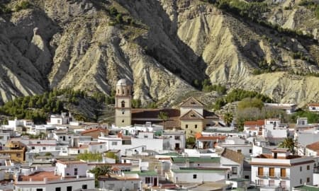
Localities in the Alpujarra Almeriense
Discover here all the localities in the Alpujarra of Almeria and know in depth all the towns of this region of Almeria.
Alboloduy
Alcolea
Alhabia
Alhama de Almeria
Alicun
Almocita
Alsodux
Bayarcal
Beires
Bentarique
Canjayar
Fondon
Huecija
Illar
Instincion
Laujar de Andarax
Ohanes
Padules
Paterna del Rio
Ragol
Santa Cruz de Marchena
Terque
Share our Travel Guide