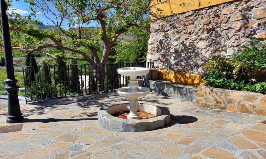
Bayarque Travel Guide
This municipality is crossed by the Bacares river, a tributary of the Almanzora river, and on whose banks are located a multitude of orchards that produce a great variety of vegetables and fruits. In particular, the almond and olive groves stand out.
This town was founded by the Muslims in the 9th century under the name of Bi-yarq, which means “promontory”. It is divided into two population centres, divided by a promenade that runs longitudinally. In its urban area, its typical white houses and narrow stone streets are well-known, evoking its Arab past. Several old religious buildings stand out, such as the Church of the Virgin of the Rosary and the Hermitage of the Virgin of Lourdes. The viewpoint and the cave of the pigeon are also important sites of interest for the visitor.
Due to its rich natural environment, full of streams, springs, forests and avenues, Bayarque is an ideal place to engage in hiking on its many rural routes, which offer spectacular views of the valley.
Location
Localities in the Almanzora Valley


