What to see in Seron
Nasrid Castle
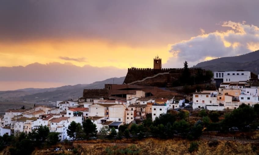
It is a 13th century defensive castle that served as a refuge during the uprising of the Moorish.
The situation of the castle is majestic. In the upper part there is a small esplanade where a neo-Mudejar style tower was built at the beginning of the 20th century, which houses a clock mechanism.
Of the original fortress there is only one wall and some wall parts scattered throughout the castle.
The situation of the castle is majestic. In the upper part there is a small esplanade where a neo-Mudejar style tower was built at the beginning of the 20th century, which houses a clock mechanism.
Of the original fortress there is only one wall and some wall parts scattered throughout the castle.
Church of the Annunciation
This 17th century building was declared a National Historic-Artistic monument in 1983.
Its interior is rectangular, consisting of three areas separated by slender pillars that give the building a noble appearance.
Its covers have the sober classicism design of the first baroque era and they are crowned with the shield of the Portocarrero Bishop.
Its interior is rectangular, consisting of three areas separated by slender pillars that give the building a noble appearance.
Its covers have the sober classicism design of the first baroque era and they are crowned with the shield of the Portocarrero Bishop.
The Remedies Hermitage

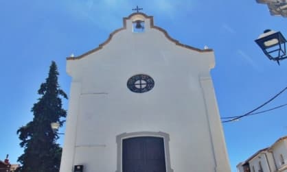
This is a neoclassical construction of the 19th century: rectangular with a single nave, which has a very austere exterior and an interior of great simplicity and beauty.
It is located in the Square that bears his name and in its main chapel is the image of the patroness saint of Seron: the Virgin of the Remedies.
It is located in the Square that bears his name and in its main chapel is the image of the patroness saint of Seron: the Virgin of the Remedies.
Real Street

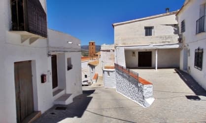
Real Street is the main road that surrounds the historic center of Seron, and it is made up of a labyrinth of narrow and intricate streets with fascinating twists and turns.
In this street we can find several stately homes with magnificent facades that were built between the late 19th and early 20th century. These are constructed in styles ranging from neoclassical to the modernist, as well as neocolonialist style.
In this street we can find several stately homes with magnificent facades that were built between the late 19th and early 20th century. These are constructed in styles ranging from neoclassical to the modernist, as well as neocolonialist style.
Iron Greenway
The Almanzora Greenway, known as Iron Greenway as it passes through Seron, is the old Guadix-Almendricos railway line, nowadays in disuse.
On the Iron Greenway you can enjoy 11.8 kilometers with a minimal slope, which makes it easy for anyone, whatever their level, and makes it an ideal stretch to be done on foot or by bicycle. Along the way we will find three abandoned iron ore loading sites, hence the name of this section of the Almanzora Greenway.
On the Iron Greenway you can enjoy 11.8 kilometers with a minimal slope, which makes it easy for anyone, whatever their level, and makes it an ideal stretch to be done on foot or by bicycle. Along the way we will find three abandoned iron ore loading sites, hence the name of this section of the Almanzora Greenway.
Las Menas mining town
The ferrous deposits found in this location made it the most important and productive area in the province of Almeria for more than half a century.
It was built progressively, without any defined urban planning, and housed buildings of great architectural quality, among which are the Saint Barbara Hermitage, the hospital, offices, the workers' pavilion, workshops and several managers' and technicians' houses stand out.
It was built progressively, without any defined urban planning, and housed buildings of great architectural quality, among which are the Saint Barbara Hermitage, the hospital, offices, the workers' pavilion, workshops and several managers' and technicians' houses stand out.
Millenary Oak
According to technicians at the Ministry of Environment of the Council of Andalusia, the Millenary Oak is the largest tree in Andalusia and one of the oldest of all cataloged to date.
It is an example of enormous beauty that reaches about 19 meters high. It is located in the Loma Valley, on the northern slope of the Sierra de los Filabres.
It is an example of enormous beauty that reaches about 19 meters high. It is located in the Loma Valley, on the northern slope of the Sierra de los Filabres.
La Jordana picnic area

In the municipality of Seron is La Jordana picnic area, located about 5 km away from the city center. It is an environmental facility equipped with a rest area, barbecue facilities, a park, etc.
In the surroundings of the picnic area you can enjoy picturesque landscapes, where you cannot miss the opportunity to walk through the surroundings, or even take a hiking route.
In the surroundings of the picnic area you can enjoy picturesque landscapes, where you cannot miss the opportunity to walk through the surroundings, or even take a hiking route.
Seron Planetarium

The Seron Planetarium is an educational and leisure space for schoolchildren, families and any lover of the Universe.
The live sessions deal with Heaven and its legends, Astronomy and Astrophysics, Earth Sciences and many other topics. It is very suitable and adapted to all ages and levels of the audience.
Their powerful software, which they operate as if it were a video game, is a 3D simulator of the Universe and in each session THEY TRAVEL TO THE MOON, and beyond.
Make an appointment… you won't be disappointed.
What to visit in the Almanzora Valley


